

Hail, damaging winds and heavy rain has hit parts of Perth, Rockingham and Mandurah overnight.
A strong cold front swept across the the south of the state on Tuesday night, continuing into Wednesday morning.
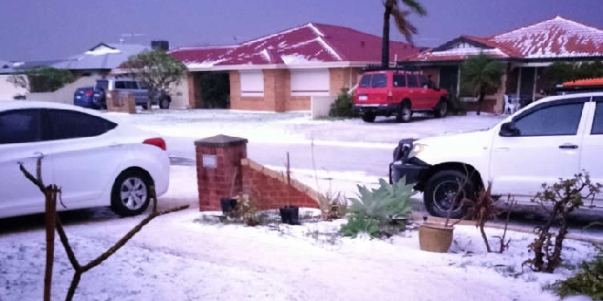
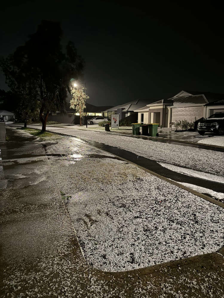
Parts of Baldivis, Waikiki and Safety Bay resembled a winter wonderland as hail covered streets and properties.
A wind gust of 95km/h was recorded at Garden Island at 3.40am, while a gust of 111km/h was observed at Rottnest Island at 3.13am.
A severe weather warning remains for the coast between Jurien Bay and Albany.
The SES have responded to more than 130 calls for help since 2pm on Tuesday, May 28.
Hail in Baldivis. PIC: Lauren Newman/Facebook
Bureau of Meteorology forecaster Jessica Lingard said conditions are set to ease later today.
"Across the rest of today we are expecting some more showers and thunderstorms to continue, they will be on an easing trend though, especially as we move through into this afternoon and this evening," Ms Lingard said.
Ms Lingard said plenty of rain is forecast for the long weekend as well.
"It does look like a very wet Saturday and Sunday around the metro area and if you are heading away on holiday for the long weekend, perhaps take a glance at the forecast for wherever you're heading and make some wet weather contingency plans."
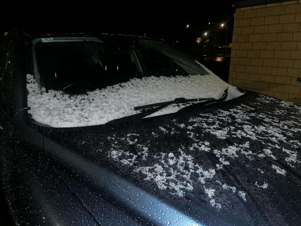
Hail in Baldivis. PIC: Alissa-Lee Pettley/Facebook
 Tragic update in search for missing man Robert Snyder
 Premier Roger Cook to leave Kwinana electorate, move to Perth
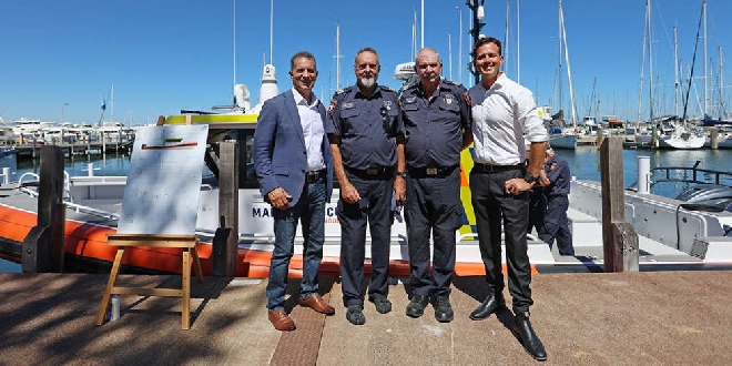 Mandurah Marine Rescue's new vessel named in memory of nun who survived 1959 boating accident
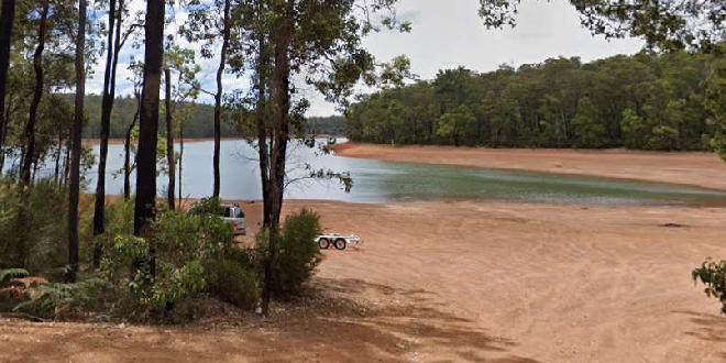 Teen dies in motorbike crash at Waroona Dam
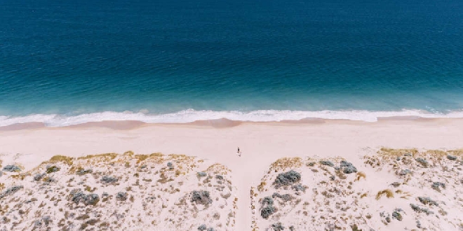 Shark alert issued after whale carcass reported at Preston Beach
 Kwinana businesses to refuse serving students during school hours
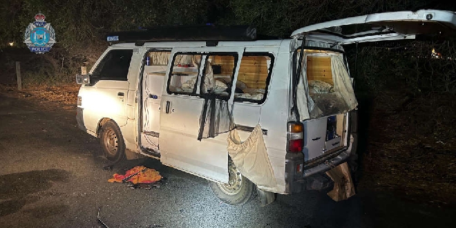 Men attacked, campervan windows smashed in East Rockingham
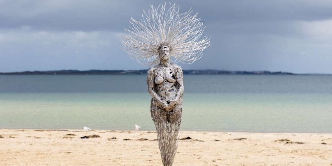 Entries for 2026 Castaways Sculpture Awards now open
 Meadow Springs man pleads guilty to threatening to kill PM and NSW Premier