


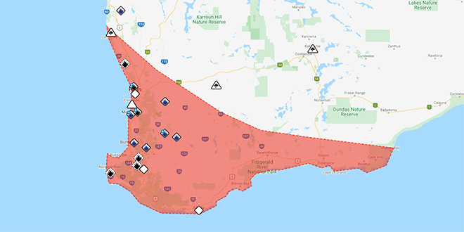
For people in Lower West, South West, South Coastal, Great Southern and parts of South East Coastal and Central Wheat Belt districts.
It's the first widespread cool season weather event to affect Perth and Southwest WA this year.
A strong cold front and associated cold, unstable airmass are currently moving through South West of Western Australia. The system will contract to the south of the State late Wednesday morning.
WIDESPREAD DAMAGING WINDS, averaging 60 to 70 km/h with peak gusts to around 110 km/h are likely and could cause DAMAGE TO HOMES AND PROPERTY.
Locally DANGEROUS WINDS, averaging 80 to 90 km/h with peak gusts in excess of 125 km/h are possible and could cause SIGNIFICANT DAMAGE OR DESTRUCTION TO HOMES AND PROPERTY.
Severe winds are currently occurring throughout the warning area, including the Perth Metropolitan area. The severe winds should gradually contract to the south coastal parts during the late morning.
HIGHER THAN NORMAL TIDES may cause FLOODING OF LOW-LYING COASTAL AREAS within the warning area during Wednesday morning.
DAMAGING SURF CONDITIONS, which could cause SIGNIFICANT BEACH EROSION to coastal locations within the warning area.
Locations which may be affected include Albany, Bunbury, Busselton, Esperance, Katanning, Mandurah, Manjimup, Margaret River, Mount Barker, Narrogin, Northam and Perth.
This front is expected to be windier than a typical cold front and is likely to produce the kind of weather that is only seen in Southwest WA about 2 times per year.
The following severe wind gusts have been recorded:
- Cape Naturaliste: 128 km/h at 10:58 pm.
- Cape Leeuwin: 128 km/h at 3:41 am.
- Busselton Jetty: 118 km/h at 11:39 pm.
- Rottnest Island: 113 km/h at 8:32pm.
- Busselton Airport: 107 km/h at 11:47 pm.
- Dardanup: 106 km/h at 9:59pm.
- Ongerup: 104 km/h at 2:40am.
- Katanning: 104 km/h at 1:33am.
- Gnowangerup: 104 km/h at 1:57am.
- Mandurah: 102 km/h at 8:24pm.
- Garden Island: 102 km/h at 4:30am
The Department of Fire and Emergency Services advises that people should:
* If outside find safe shelter away from trees, power lines, storm water drains and streams.
* Close your curtains and blinds, and stay inside away from windows.
* Unplug electrical appliances and do not use land line telephones if there is lightning.
* If boating, swimming or surfing leave the water.
* Be alert and watch for hazards on the road such as fallen power lines and loose debris.
* Keep away from flooded drains, rivers, streams and waterways.
* Be careful of fallen trees, damaged buildings and debris.
* Be careful of fallen power lines. They are dangerous and should always be treated as live.
* Assess your home, car and property for damage.
* If damage has occurred take photos and contact your insurance company to organise permanent repairs.
* If your home or property has significant damage, like a badly damaged roof or flooding, call the SES on 132 500.
 Female passenger dies after horror Kwinana Freeway crash
 Havana Brown and Thelma Plum to headline 2026 Crab Fest
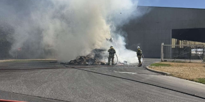 Hazmat warning issued after rubbish truck catches fire in Kwinana Beach
 WA Police ramp up patrols near schools as students return for Term 1
 Fire engulfs car then spreads to bushland in Oakford
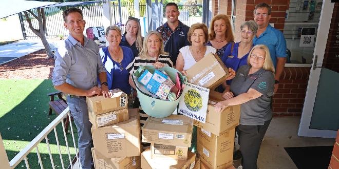 Community bands together to provide essential school supplies to local children
 Detectives continue to hunt man who dragged woman by hair into bushes in Halls Head
 Woman airlifted to hospital following South Yunderup crash
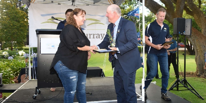 Shire of Murray celebrates outstanding citizens