


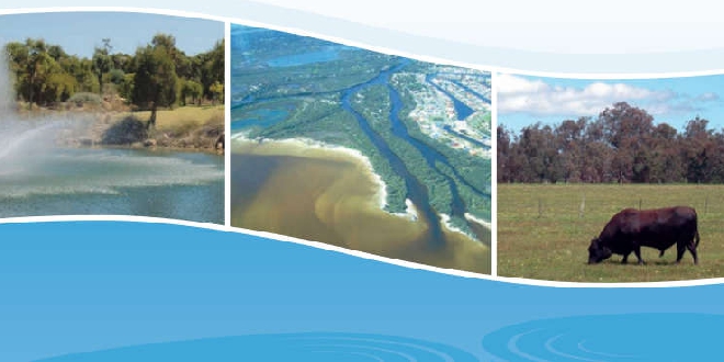
Murray groundwater area allocation limits have been reduced in response to declining rainfall due to climate change.
The Murray groundwater area is located about 50km south of Perth and covers 1050 km2.
Groundwater use supports local irrigated agriculture and horticulture, public open space and recreation in Mandurah, Ravenswood, Pinjarra and Waroona, and garden bores across urban areas and where scheme water is not connected.
The Murray groundwater area sustains valuable waterways, wetlands, and areas of bushland and Banksia woodlands.
Climate change has caused a significant reduction in rainfall in the Murray groundwater area.
Average annual rainfall has declined by about 23 per cent since 1975 - from 1,036 mm/year (1945-1974) to 800 mm/year (1975-2020).
As a result, rainfall recharge to the groundwater system is now much less than it was.
Future climate projections for the area show average annual rainfall could fall to 740 mm/year by 2030.
“Adjustments to water availability based on up-to-date climate projections is essential to ensure we stay ahead of our changing climate and to protect our precious groundwater resources," Water Minister Simone McGurk said.
“The reduced allocation limits will help ensure sustainable groundwater use as our climate continues to become drier and hotter.
“Though these changes will not impact existing groundwater licensees, the new Murray groundwater allocation statement strongly signals the need to meet future water demand through greater water use efficiency, trading, and in some cases alternative water sources.”
 Mandurah woman completes grueling English Channel swim
 Man and child seriously injured in South West crash
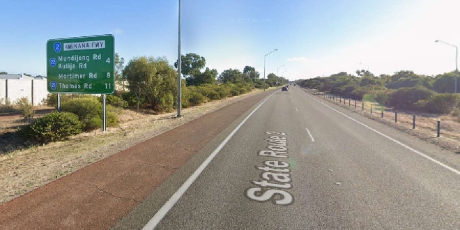 Motorists warned to expect delays during Kwinana Freeway upgrades
 Driver injured in Serpentine crash
 Man and woman wanted for questioning over Lakelands car theft
 Mission Australia celebrates 25 years of supporting young people through Mandurah Reconnect program
 'Mad Eagles fan' wins $6 million Lotto prize
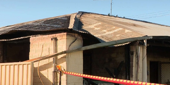 Mandurah woman loses everything in house fire
 Gift card scams surge past $1 million prompting urgent warning from Consumer Protection